


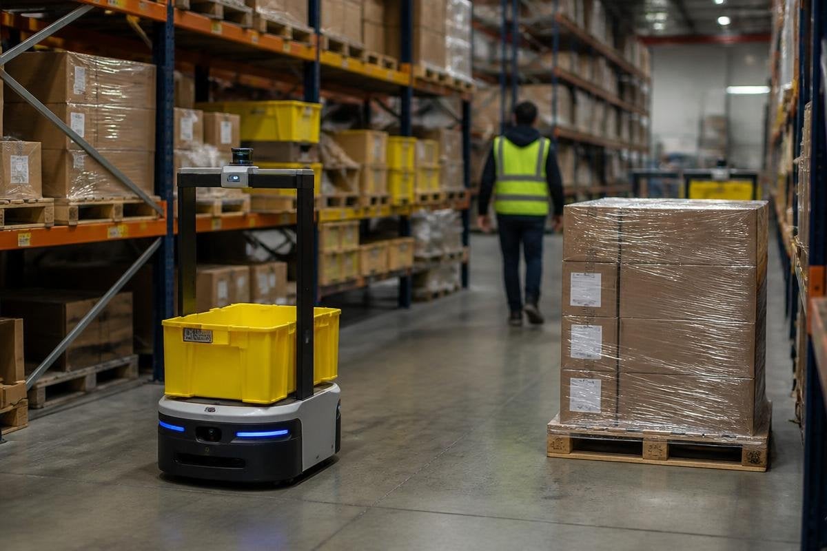
A logistics robot can reach the right shelf and still fail the job if it takes the wrong route. In a warehouse, blocked aisles, moving workers, changing stock, and poor signals turn navigation into a daily operating problem.
Quick read
- Map changes can send a robot toward an aisle that no longer exists
- LiDAR, cameras, and wheel encoders each cover different navigation errors
- A good route must protect people, battery time, and delivery targets
Maps are only a starting point
Most mobile logistics robots begin with a map of the building. The map may show walls, racks, charging points, and marked travel lanes, but it cannot predict every pallet, trolley, or person that appears during a shift.
Localization means finding the robot’s position on that map. LiDAR measures nearby surfaces with laser pulses. Cameras can help identify signs, racks, and floor marks. Wheel encoders estimate distance from motor rotation, but small slips can make that estimate drift.
A robot that uses only one sensor has a narrow view of the job. A dusty lens can reduce camera data. A shiny surface can confuse LiDAR. A wheel can spin on a smooth floor while the software assumes the robot moved forward.
That is why logistics systems combine sensor data. Simultaneous localization and mapping, known as SLAM, lets a robot build or update a map while it estimates its position. The quality of that estimate affects every later decision.
A warehouse changes around the robot
The map problem grows when the building changes. A rack may move, a delivery door may close, or a stack of empty pallets may block a route. The robot must spot the change, decide if it is temporary, and choose a safe path without stopping the whole flow of work.
This needs two separate decisions. Local planning handles objects close to the robot, such as a worker crossing its path. Global planning chooses a route across the wider building, such as a path from receiving to storage.
If local planning is too cautious, the robot stops often and misses its delivery target. If it is too quick, it may pass too close to people or equipment. The useful setting depends on aisle width, floor rules, load weight, and the speed of nearby traffic.
Robot makers also need to explain what happens after a route fails. A robot that waits for a blocked aisle may need a new route. A robot that cannot find one needs to call a person, record its location, and keep the rest of the fleet from sending more machines into the same blockage.
At fleet level, one bad route can turn a local delay into a traffic problem for every machine behind it. Robot 24 can put warehouse navigation claims beside the traffic rules and deployment details that show how the system handles that load.
Fleet traffic changes the problem
One robot can plan around a box. A fleet has to plan around other robots carrying different loads on shared routes. That adds traffic control to navigation.
Fleet software may assign lanes, set crossing rules, or hold a robot at a waiting point. These rules need to account for turning space and stopping distance. A loaded robot may need more room to stop than an empty one, even if both travel at the same speed.
Poor traffic planning wastes battery power as robots wait, reverse, or take long detours. It can also create a queue near a lift, charging station, or narrow doorway. The result is a navigation fault that looks like a scheduling problem.
Payload changes the problem too. A tall load can block a camera or change the vehicle’s turning path. A floor gap that causes no trouble for an empty platform may shake a fragile load or trigger a safety stop when the robot is carrying a full tote.
What better navigation should show
A useful navigation system should give an operator clear records, not only a moving dot on a screen. The log should show where the robot stopped, which sensor caused the stop, how long the delay lasted, and which route it chose next.
That record helps separate hardware faults from map faults and traffic faults. It also gives a warehouse team a way to fix the building itself, such as moving a charging point or marking a repeated obstruction.
I’d skip a logistics robot whose maker cannot show route failures and recovery steps. A smooth demonstration proves the robot can move through one prepared space; it does not prove the system can handle a working shift.
A practical buying checklist
Use these checks before choosing a navigation system:
- Test a changed map: move a rack or close an aisle, then watch how the robot reacts
- Check sensor coverage: ask what happens when cameras, LiDAR, or wheel data become unreliable
- Measure recovery time: record how long the robot takes to clear a blocked route
- Review fleet rules: confirm how robots share lifts, doors, crossings, and charging points
- Inspect the logs: look for stop causes, route changes, and operator alerts
- Match the load: test the tallest and heaviest normal load, not an empty platform
These checks connect navigation software to the work it must support. They also expose gaps that a short warehouse demonstration can hide.
The next useful test is a full shift with changed routes, mixed loads, and normal worker traffic. Until robots can record, explain, and recover from those conditions, better navigation remains a direct requirement for dependable logistics automation.